ACROSS CANADA DAY: 12 July 21~ Sea to Sky in Squamish

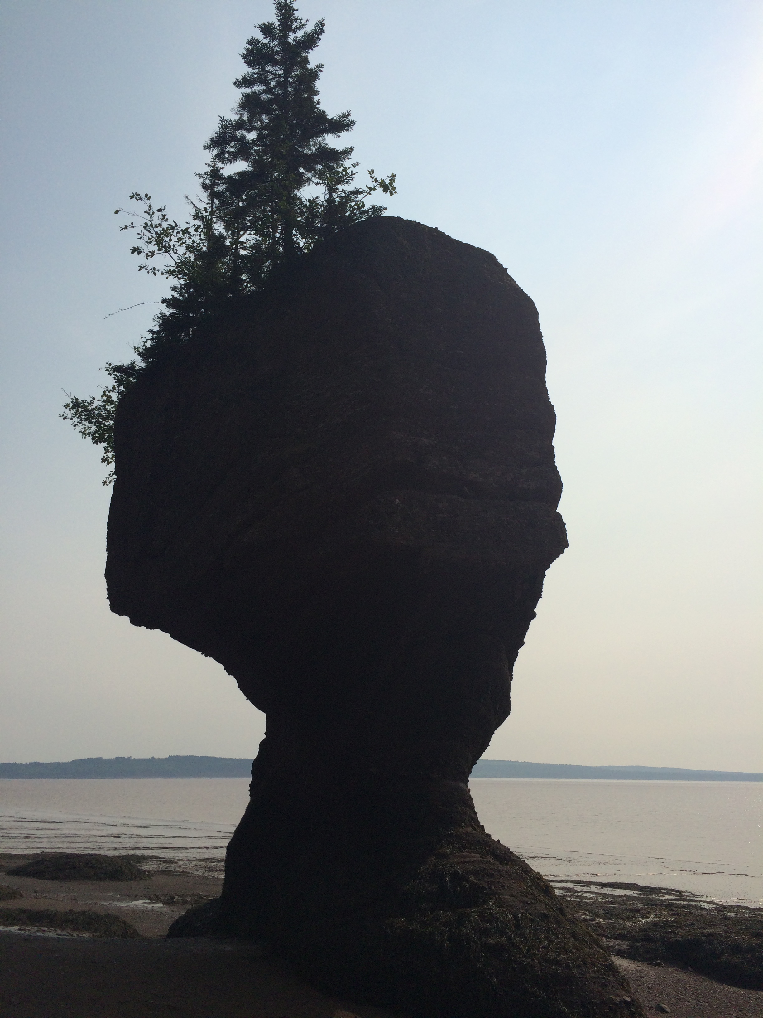
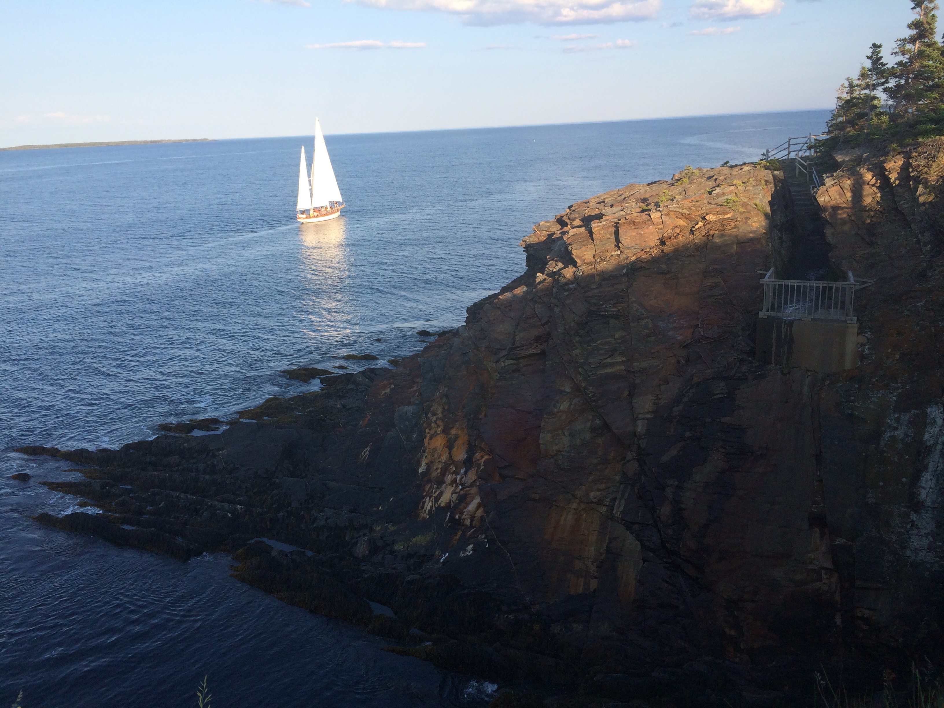
Squamish is a community in BC, located at the north end of Howe Sound on the Sea to Sky Highway.  It had its beginning during the construction of the Pacific Great Eastern Railway in the 1910’s.  It was the first southern terminus of that railway now CN.

It is THE “Outdoor Adventure” place in the area. We left Van city this morning and headed to Squamish. The road to Squamish is amazing as it winds through the mountains.

IMG_3621

The Stawamus Chief on Canada’s West Coast is a world-renowned rock-climbing destination known for its beautiful multi-pitch routes and unrivalled crack-climbing pitches. But many visiting outdoor enthusiasts are unaware that the iconic granite monolith also carries the scars of a legendary battle. The region’s Squamish people tell of the mythical hero Xwech’taal vanquishing the double-headed sea serpent Sinulhkay before uniting the Squamish Nation.

The Stawamus Chief — pronounced stah-WAH’-muss, but known simply as “The Chief” attracts thousands of visitors every year, both for its premiere rock-climbing offerings but also for accessible hiking trails that climax in rewarding ridge-top vistas.

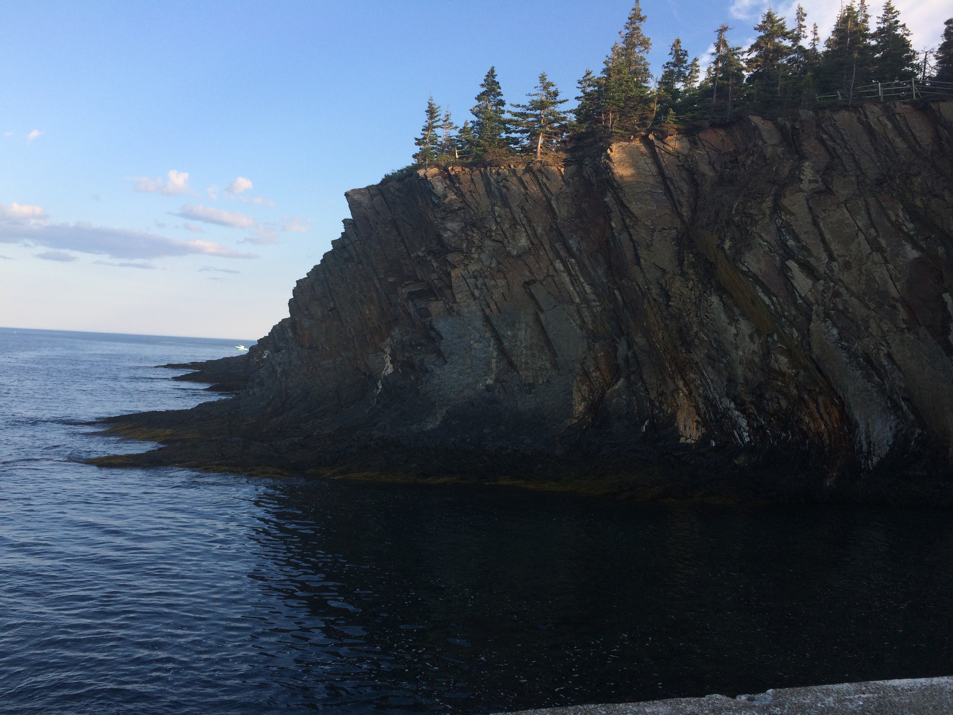
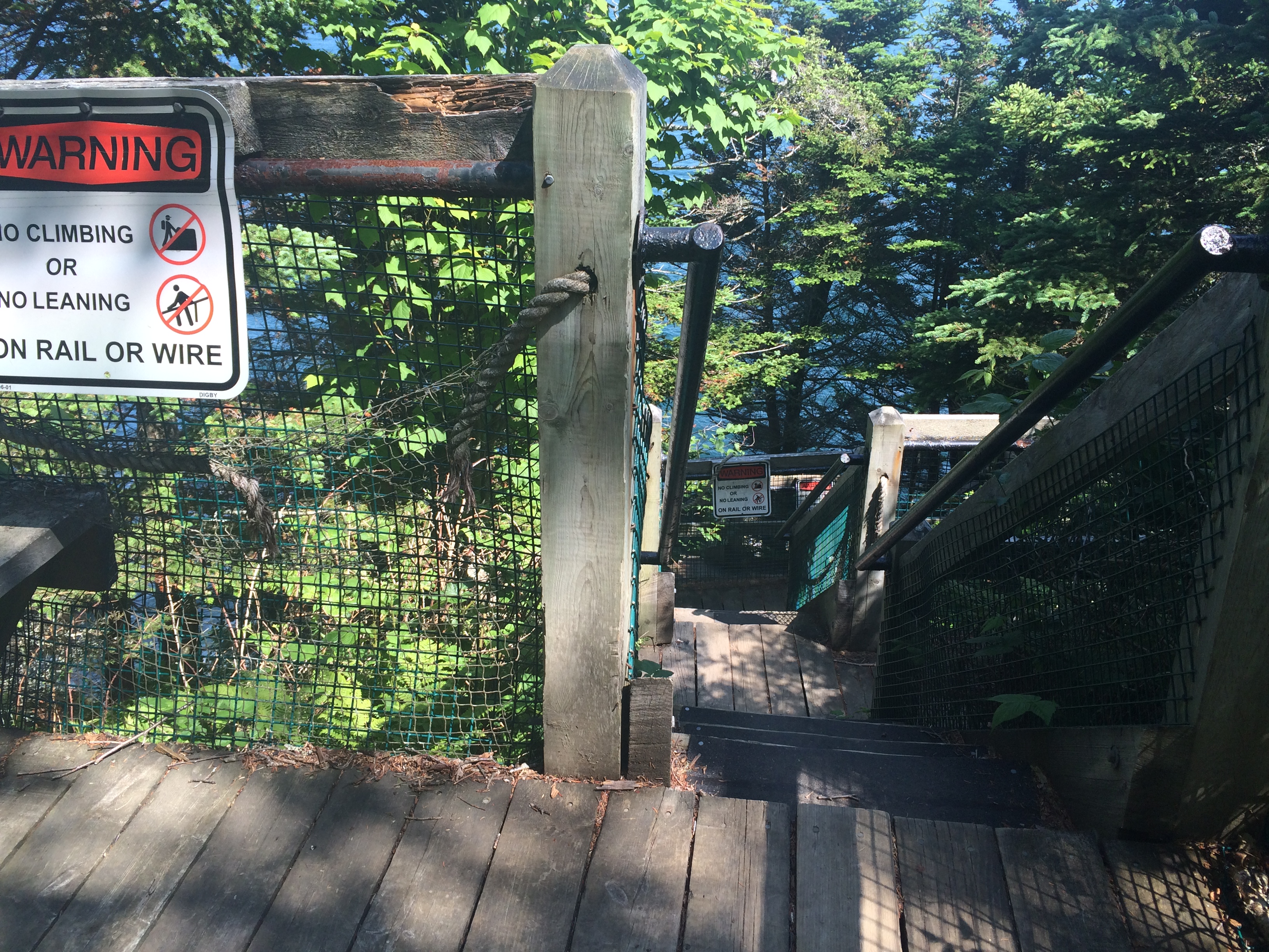
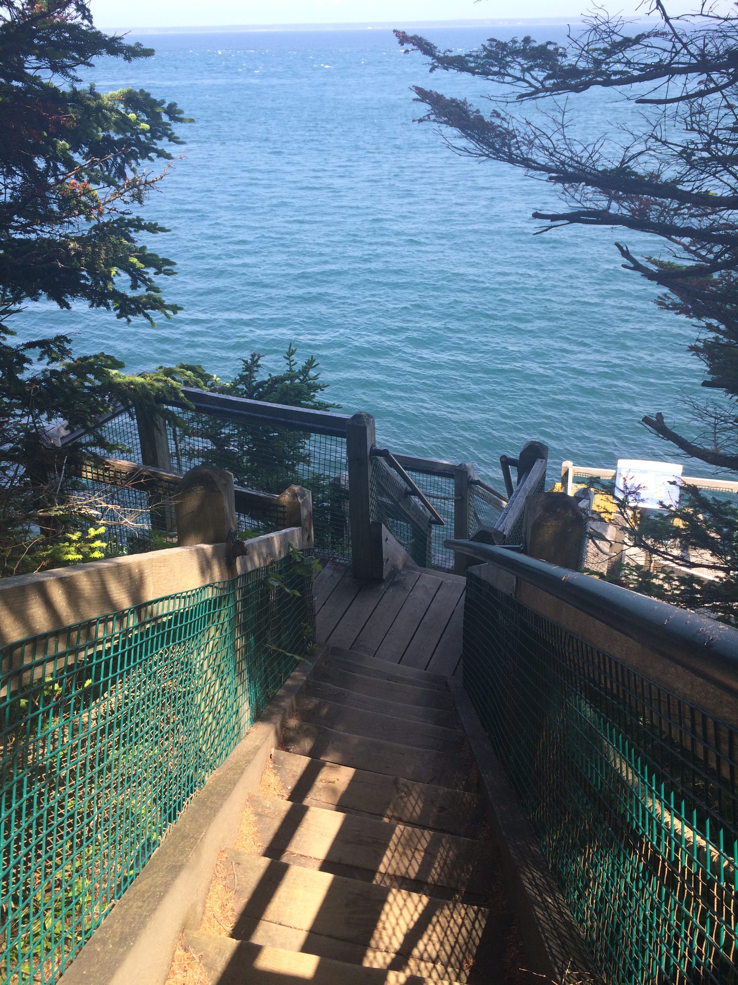
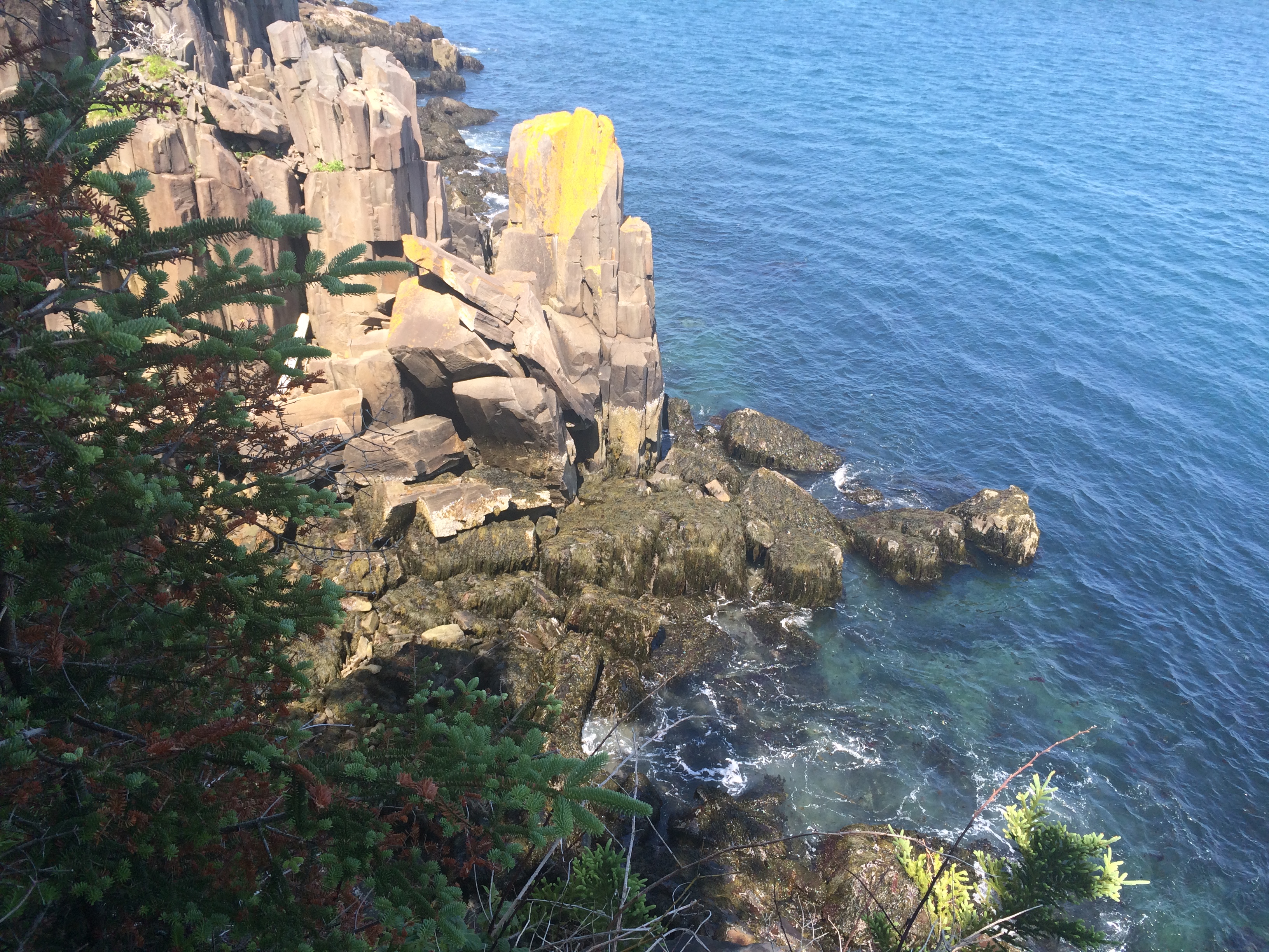
The mountain towers 700 metres over the head of a picturesque, inundated fjord, about 50 kilometres northwest of Vancouver. Looking down from the first of its three rounded granite summits, the slithering Squamish River can be seen reaching the salty waters of Howe Sound, which ripple between shades of teal and aquamarine under a shifting, cloud-covered sky. The initial peak is accessible about 1.5 kilometres from and 540 metres above the trail’s starting point, while the two remaining summits are located slightly higher and farther along. It’s all straight up climbing on all trails.

The panorama offers a view across the core of the Squamish Nation’s territory.

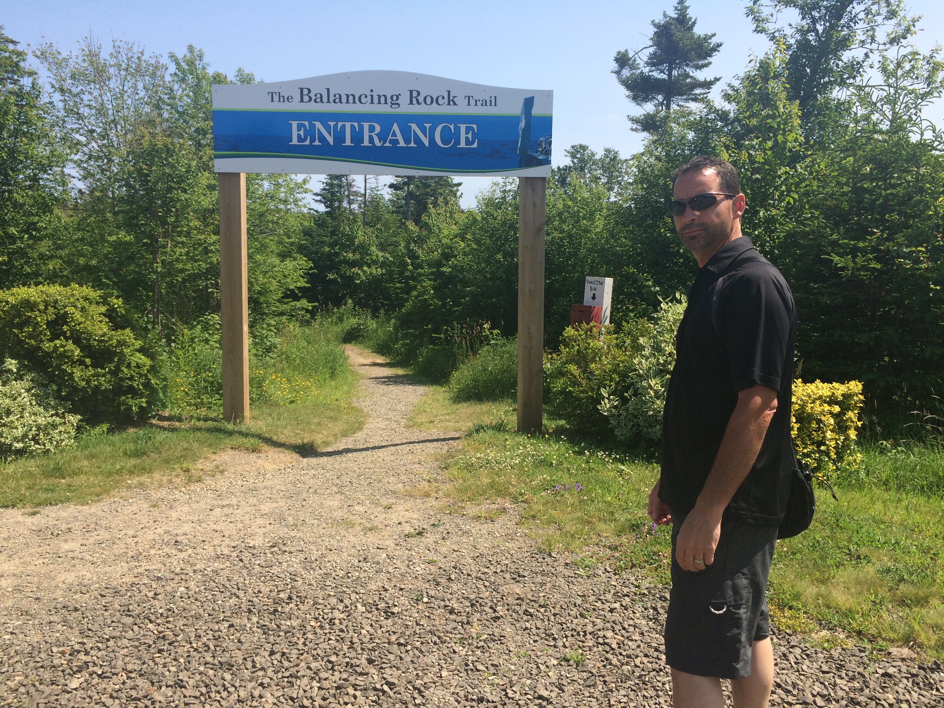
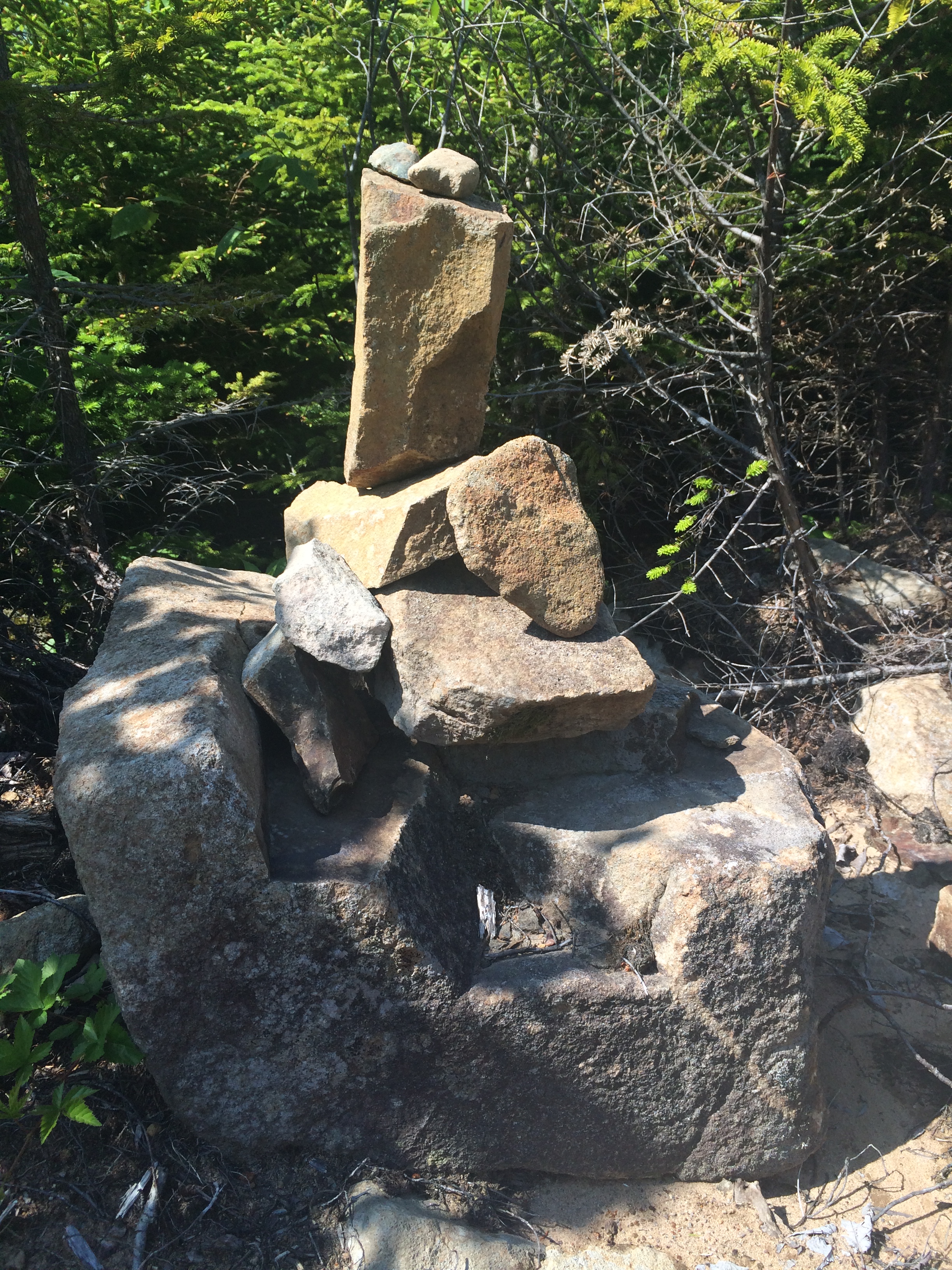
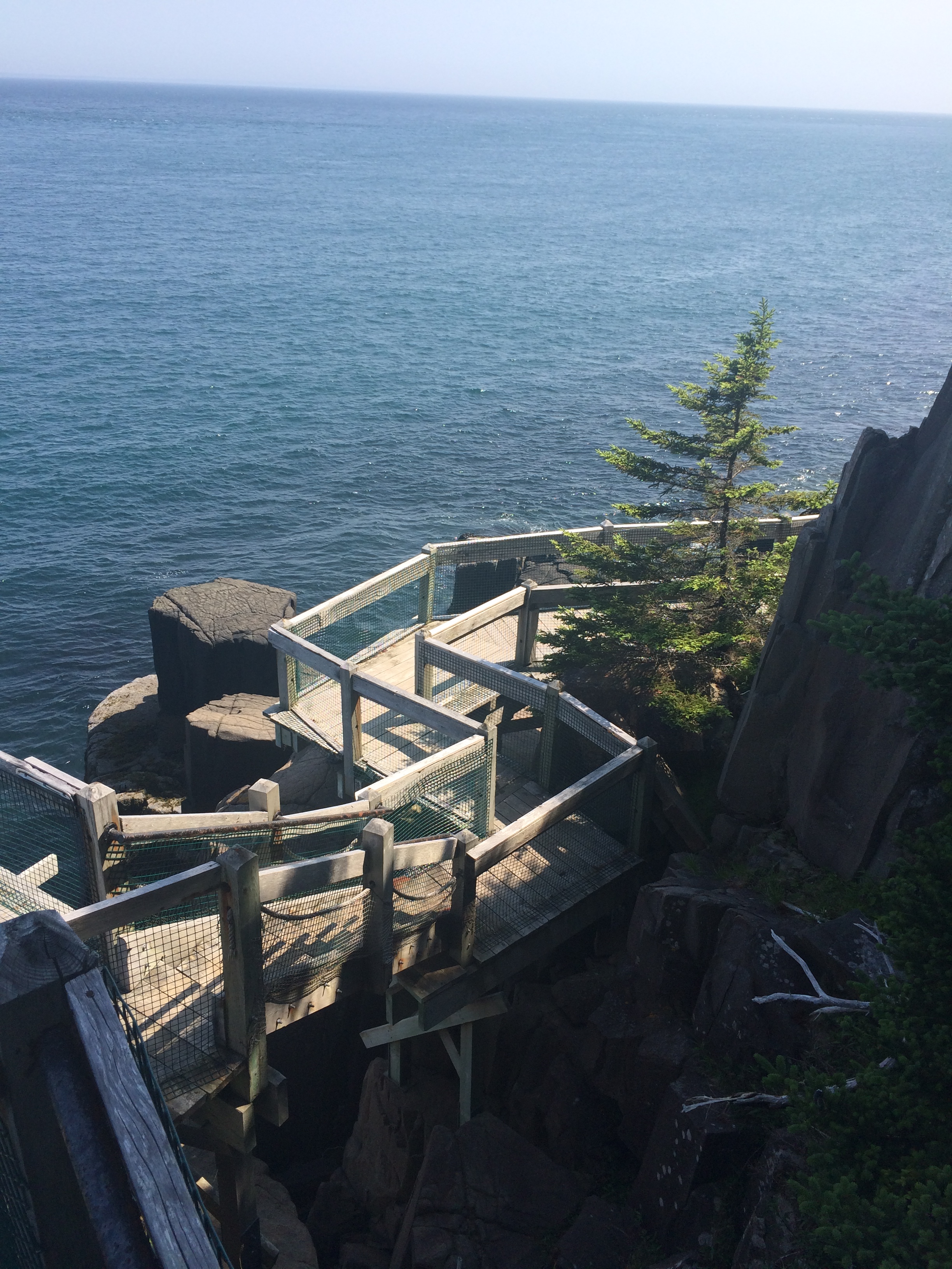
Today’s mission should you choose to accept it….to Conquer “THE CHIEF”  To start our day, we took the Sea to Sky Gondola just to get a view of what we were looking at for a climb. We were able to look down on the Chief Peaks from a viewing platform a short hike away at the Gondola Summit. We had fun on the Suspension bridge and a snack before heading back down.

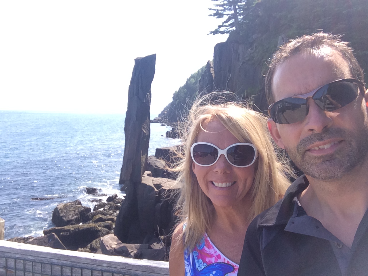
Later this afternoon when it was cooler we were ready to climb the Chief! We chose Peak 1 because it supposedly has the most amazing view of the 3.

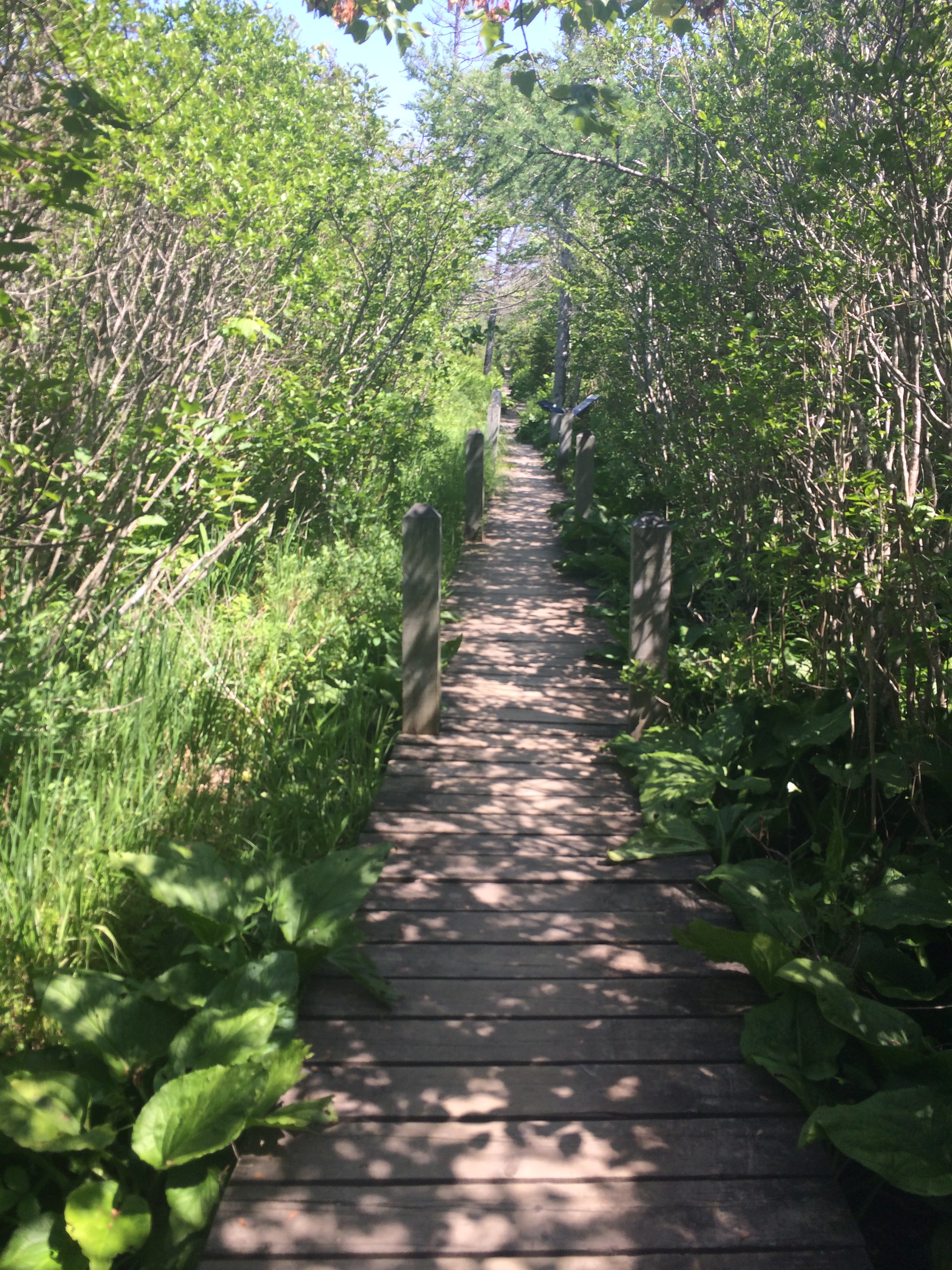
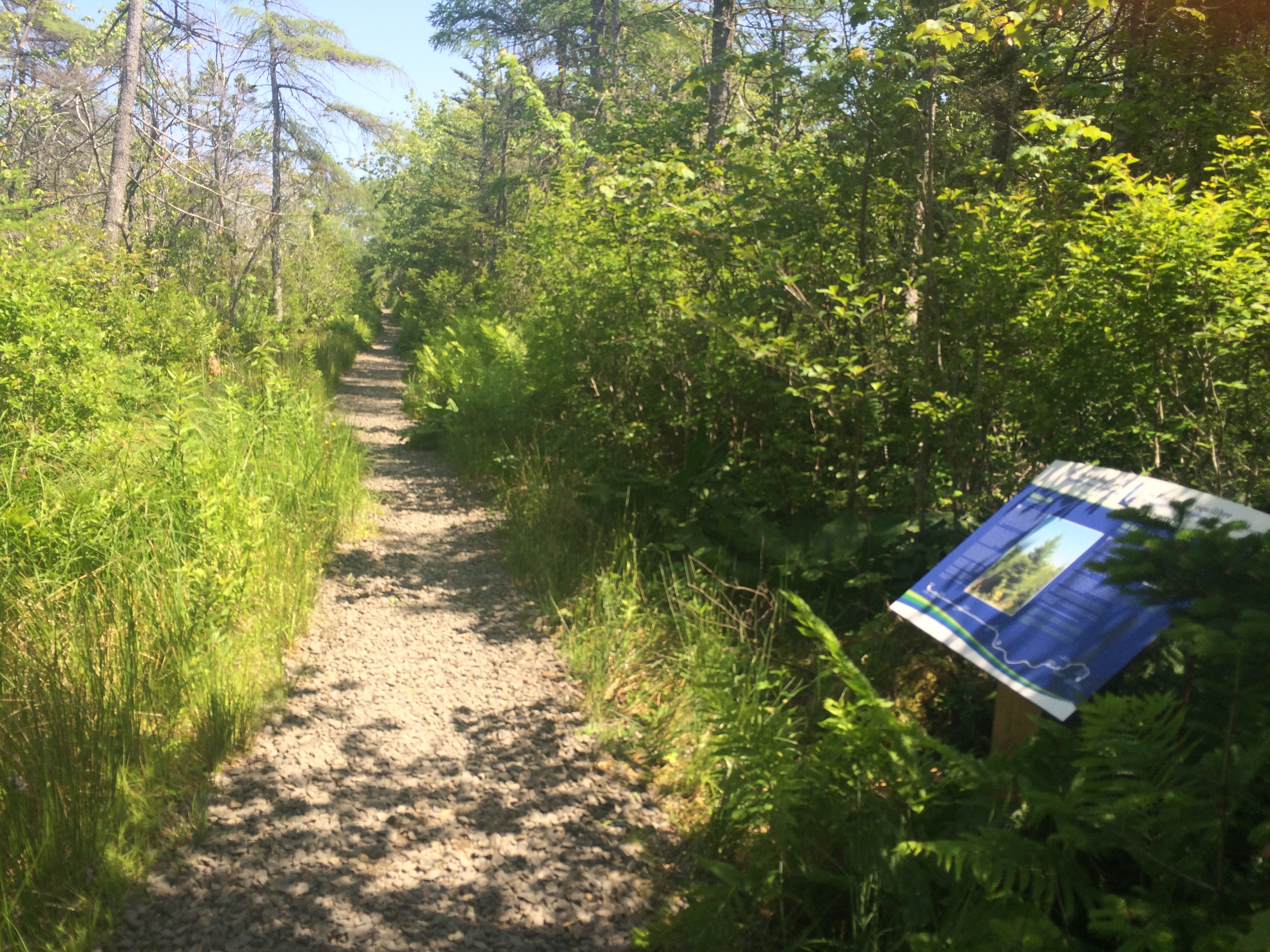
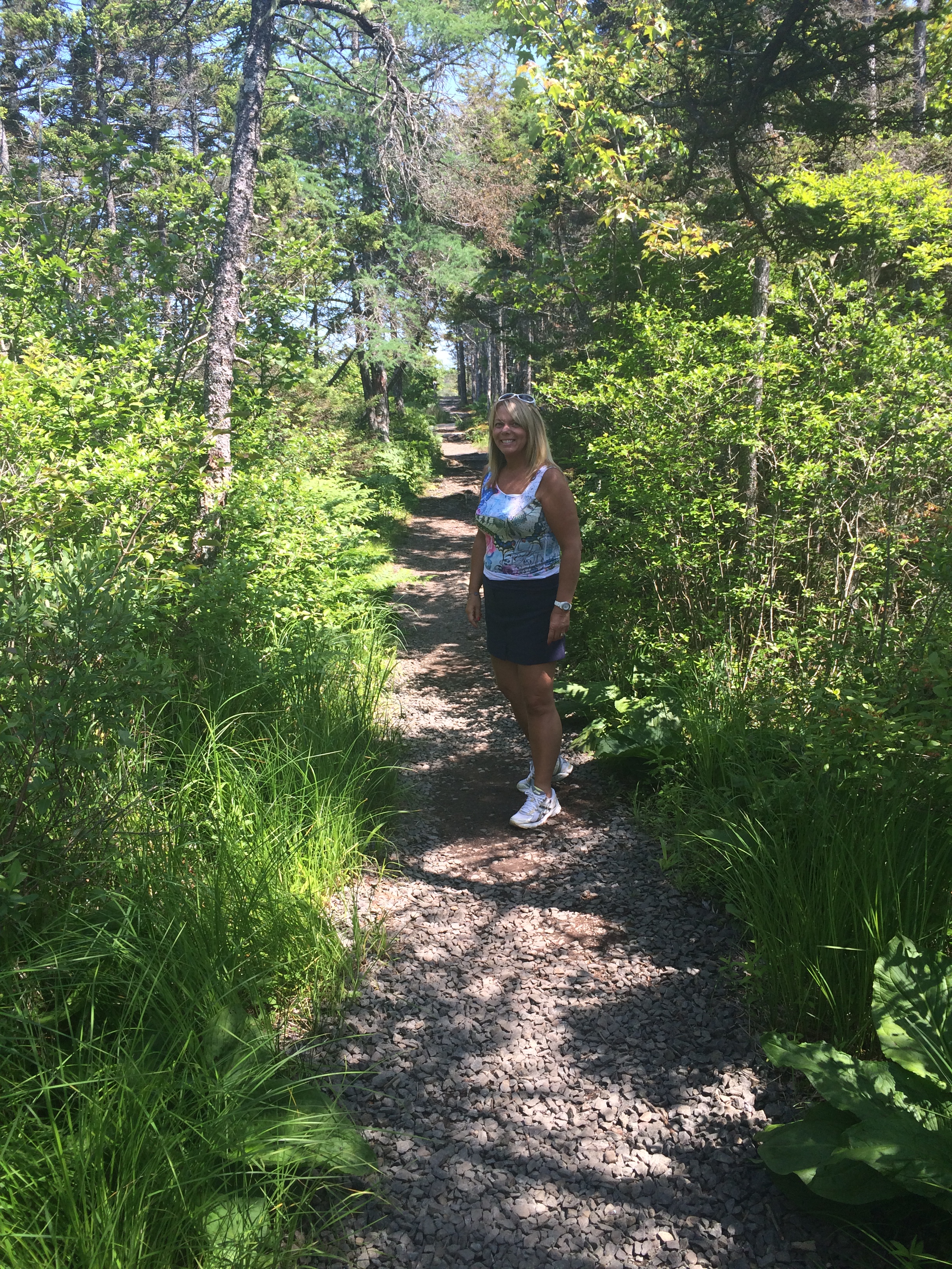
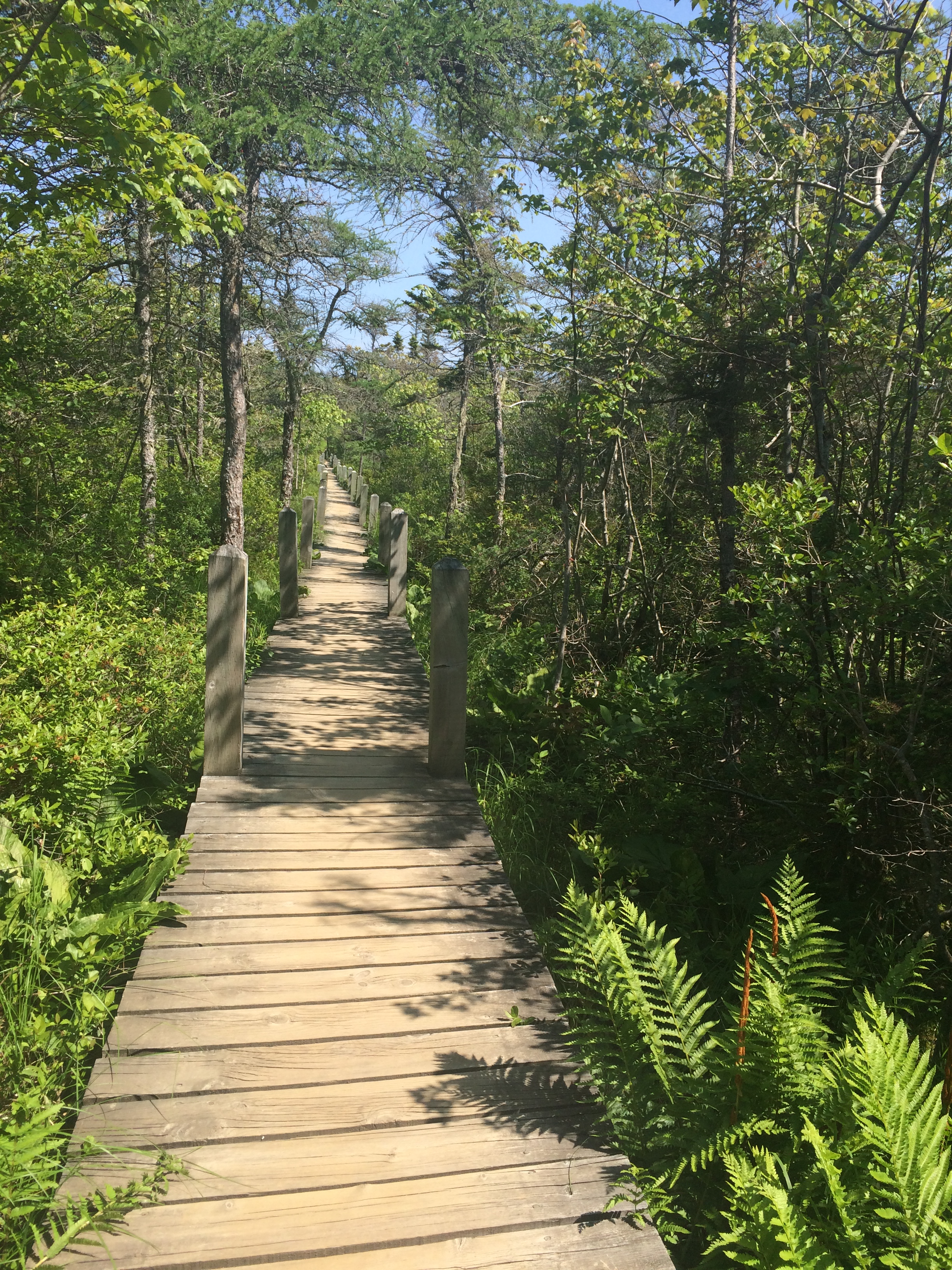
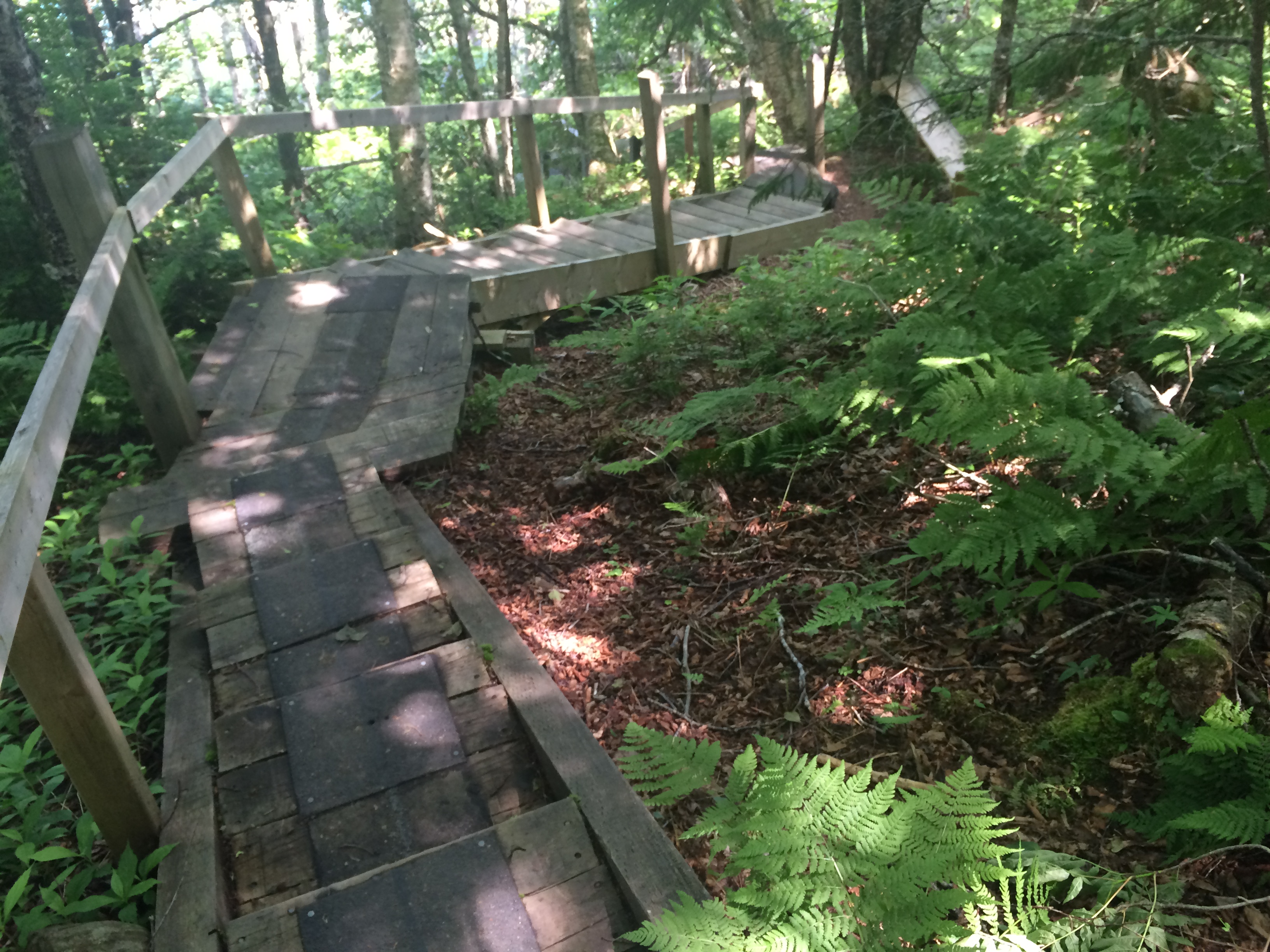
We stopped by Shannon Falls and connected on the Sea to Sky trail then connected to the Stawamus Chief Trail. And from there it was straight up!!

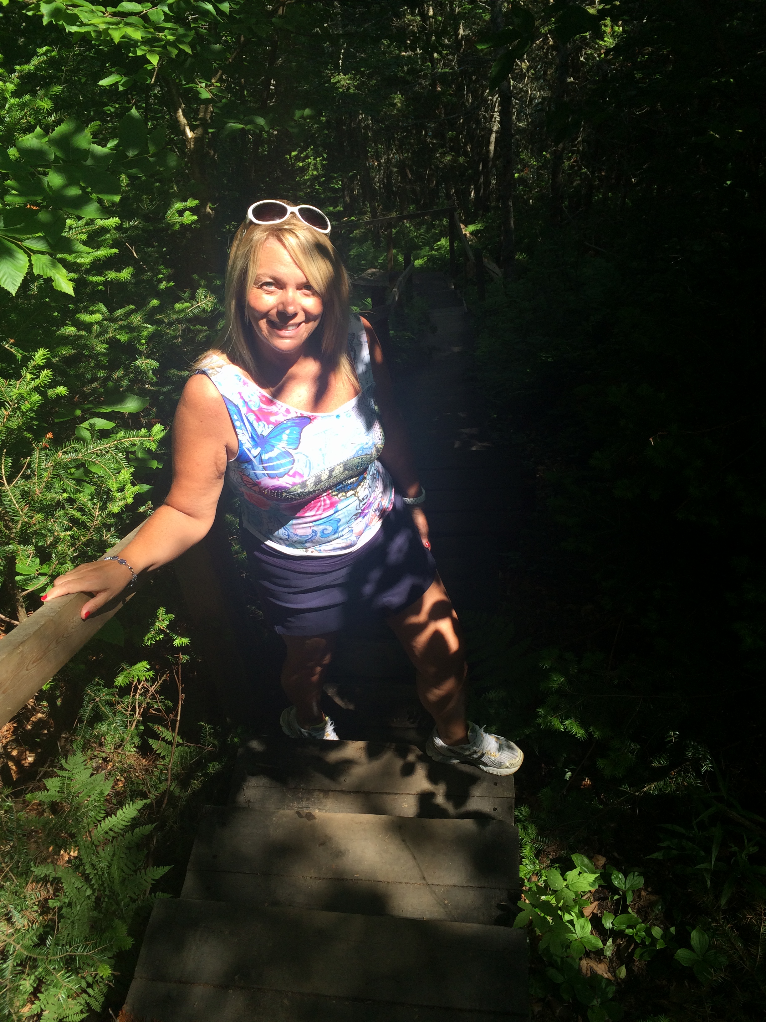
It was a hardish climb…well for me with short legs, David was fine…

IMG_3654 IMG_3658 IMG_3834 IMG_3835 IMG_3838 IMG_3699 IMG_3721 IMG_3735 IMG_3739 IMG_3785 IMG_3788 IMG_3790 IMG_3808 IMG_3809 IMG_3810 IMG_3813 IMG_3824 IMG_3826 IMG_3879

IMG_3952 IMG_3963 IMG_4009 IMG_3997 IMG_3995 IMG_3993 IMG_3992 IMG_3971 IMG_4012 IMG_4013 IMG_4083 IMG_4014 IMG_4035 IMG_4036IMG_4084 IMG_4041 IMG_4052 IMG_4065 IMG_4067 IMG_4071 IMG_4078 IMG_4079 IMG_4080IMG_4081And after we were all finished and had a refreshing shower, we enjoyed a lovely dinner beside the Squamish River at the Watershed Restaurant.

IMG_4074 IMG_4075 IMG_4076


ACROSS CANADA DAY: 7 July 16~ Badlands & Hoodoos and Pearls & A Pirate Ship

This morning we left Calgary and headed for the Badlands! Drumheller and the Hoodoo trail to be exact. This is such a cool area just an hour and a half outside of Calgary. What is really cool is the way the landscape gradually changes as you get closer to the badlands. We went from flat land with roads that you can see for miles lined with beautiful green and yellow. The canola crop is in full bloom and it’s amazing. As you get closer it gets a little hilly and then all of a sudden you are in the Badlands!

IMG_0821IMG_0850 IMG_0851 IMG_0856 IMG_0859 IMG_0882 IMG_0866 IMG_0868 IMG_0872 IMG_0874 IMG_0884 IMG_0904 IMG_0906 IMG_0913 IMG_0970IMG_0936 IMG_0972 IMG_1229 IMG_0943 IMG_1230 IMG_0950 IMG_0955 IMG_0963 IMG_0968 IMG_0971 IMG_0982 IMG_0993 IMG_1004

Badlands are  dramatic landforms that develop an intricate network of deeply incised, narrow, winding gullies and occasional fantastically shaped hoodoos. Steep, often precipitous and densely rilled slopes almost devoid of vegetation are striking evidence of the forces of erosion.

Hoodoos (aka fairy chimneys and earth pyramids) are tall rock pillars created from soft sedimentary rock (sandstone) topped with a harder rock which is more resistant to time and the elements like wind and rain. Over time the weather creates 4 to 7 metre tall red rock pillars shaped like mushrooms. The hoodoos are easily identified. These hoodoos are a symbol of the Canadian Badlands in Alberta, Canada. Aboriginals in the 18th century used “hoodoo” ( not voodoo) to communicate with evil and supernatural forces. They believed the hoodoos were evil giant gods turned to stone by the Great Spirit. It was really cool to see this!

After a quick lunch at a picnic spot along the way…

IMG_1235 IMG_1016 IMG_1017

it was on to Edmonton. To West Edmonton Mall. We just HAD to go back! I wanted to see what changed in the last 29 years. There’s a huge pirate ship, the Santa Maria ( an exact replica of Christopher Columbus’ flagship for his first voyage across the Atlantic Ocean in 1492). And it is here at this spot, One of the special memories I have of our visit to West Edmonton Mall in July 1987 was choosing an oyster and inside was a beautiful pearl…a bluish one. David had the pearl put in to a ring as a 1st year Anniversary gift for me.  I still have it BUT I don’t wear it often because the ring part has worn a little bit over the years.

My pearl ring from West Edmonton Mall 1987

IMG_1078 IMG_1088 IMG_1105 IMG_1168 IMG_1123 IMG_1125 IMG_1128I think that started my love for pearls and I am so fortunate to have many beautiful strands from China.  Maybe I should have done this again for our 30th Anniversary, after all it’s the suggested gift 😛


Screen Shot 2016-05-30 at 4.37.31 PM

There’s a skating rink, an amusement park, mini golf, a Fantasyland hotel, a wave pool…all these things I remember. It was fun to go back!

IMG_1056 IMG_1057 IMG_1059 IMG_1072 IMG_1238 IMG_1076 IMG_1153 IMG_1161 IMG_1167

There are also shops and many stores at West Edmonton Mall BUT really…who goes to shop?

On the way home we stopped very quickly to see our niece Rachel, Gerald & baby Kiet in Airdrie.

IMG_1195

IMG_1197

and the outlet mall, Cross Iron Mills.

IMG_1220

IMG_1205 IMG_1207 IMG_1209IMG_1208 IMG_1213 IMG_1217To end another wonderful day we had a great visit with a very dear friend ( she’s like family) Amber. She used to baby sit our kids and is very close to our family. She know lives in Crossfield so she came to visit at our hotel and I totally forgot to get a picture…

Another great day but I need to get to bed and rested. Tomorrow starts our “romantic two days” that are celebrating our Anniversary.


Adventure Awaits…

I picked up a copy of the 2016 Nova Scotia “Doers & Dreamers” book as well as the Culinary Guide.

Oh the possibilities & choices….

IMG_8245

I love our East Coast province ❤ and I love summertime to explore and see and try new things!

This is such a great picture captured by a local photographer… Catherine Rose Photography.

Enjoy your last day of June!

Chaga

What in the world is Chaga? lol

James brought some Chaga home for me to try. His friend (boss) has been collecting it when he’s out on his hikes and introduced James to this interesting…mushroom? I had to google it.

“Rather than soft like a mushroom, chaga is hard, almost as hard as wood. It is unique, nothing like common mushrooms.” In fact,  the Siberians call it the “Gift from God” and the “Mushroom of Immortality,” this vibrant growth has been used by humans to support health for thousands of years. The Japanese call it “The Diamond of the Forest,” while the Chinese deem it “King of Plants.” For the Chinese that is saying a lot, since they have an immense history with countless plants.”

Now, you can get the great powerful secret of the Orient in your very own backyard…kinda…if you know what to look for.

Inonotus_obliquus,_Finland

Inonotus_obliquus

_MG_0161

Inonotus obliquus, commonly known as chaga mushroom , is actually a fungus, parasitic on birch trees and other trees.  The sterile conk is irregularly formed and has the appearance of burnt charcoal. Weird… The name Chaga comes from the Russian word for mushroom.

Chaga is traditionally grated into a fine powder and used to brew a beverage resembling coffee or tea.  But you can also leave it in chunks and brew a “chunk” in a pot of water and keep reusing it until all the goodness is out of it. James brought some ground chaga home and then yesterday his friend gave him a bag of chaga chunks. Of course, I HAD to try it!!

IMG_7104

IMG_7109IMG_7110
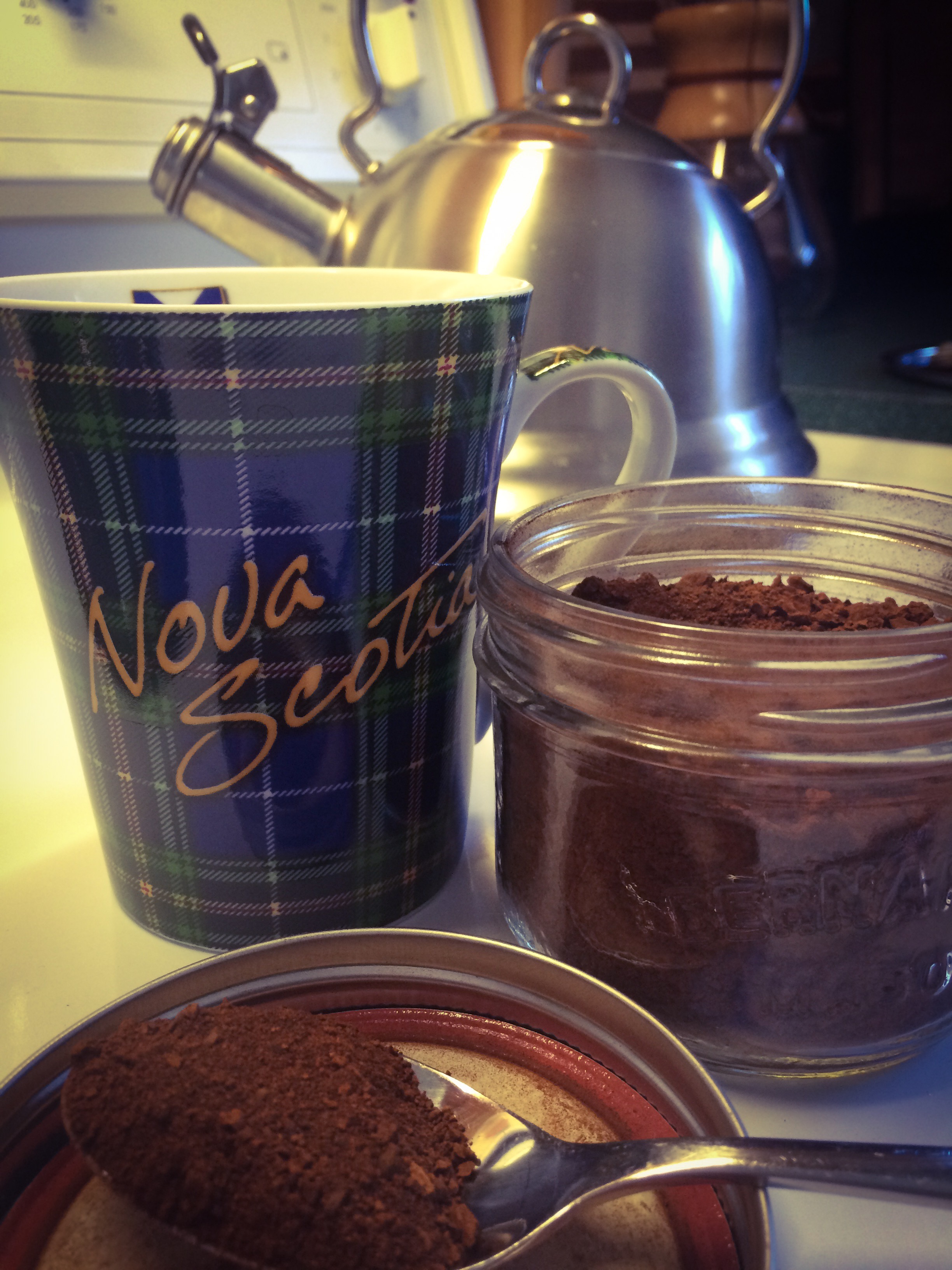
It has a mild flavour and really isn’t too bad. It’s mellow.

Guess I better go for a walk and find some Chaga!

A new kind of fun

Anyone who has been reading my blog for any time knows I love adventure and I love to explore. Unfortunately time & money these days doesn’t allow as much travel as I like so I have been looking at new ways to incorporate some extra fun in our walks and hikes around here.

GEOCACHING

Have you heard of it? What is it?

I have heard about geocaching for a long time and wanted to give it a try. My youngest son had his first go at it 3 weeks ago and since then I have really been wanting to get out and do it. So last night we did. I had my first introduction to geocaching.

…so what is Geocaching? Here is the definition from Wikipedia.

Geocaching is an outdoor recreational activity, in which participants use a Global Positioning System (GPS) receiver or mobile device and other navigational techniques to hide and seek containers, called “geocaches” or “caches”, anywhere in the world.

A typical cache is a small waterproof container containing a logbook (with a pen or pencil). The geocacher enters the date they found it and signs it with their established code name. After signing the log, the cache must be placed back exactly where the person found it. Larger containers such as plastic storage containers (Tupperware or similar) or ammunition boxes can also contain items for trading, such as toys or trinkets, usually of more sentimental worth than financial. Geocaching shares many aspects with benchmarkingtrigpointingorienteeringtreasure-huntingletterboxing, and waymarking.

Sounds like fun, right? That’s what I thought and so this summer I want to do more of it as we are out and about.

Last night we loaded the app on our phone and set up a user name. The app shows caches in your aerator wherever. I just have the basic version for now until I learn more. The basic version gives you quite a few spots but also shows the premium ones in grey ( A LOT MORE)  You click on the one you want to find, it gives you basic clues and then you walk or hike to find it. We did some easy ones in our neighbourhood last night just to see how it worked. You log in and when you find it, you can add comments and/or a picture and it sets a marker that you found it. Pretty cool!

IMG_6832


Here are a few pics from last night. We are really hoping to get out and do some more geocaching really soon.

IMG_6795 IMG_6796 IMG_6798 IMG_6801 IMG_6803 IMG_6804 IMG_6805 IMG_6812 IMG_6814 IMG_6815 IMG_6816 IMG_6819 IMG_6820 IMG_6821 IMG_6822 IMG_6824 IMG_6825 IMG_6827 IMG_6829 IMG_6831
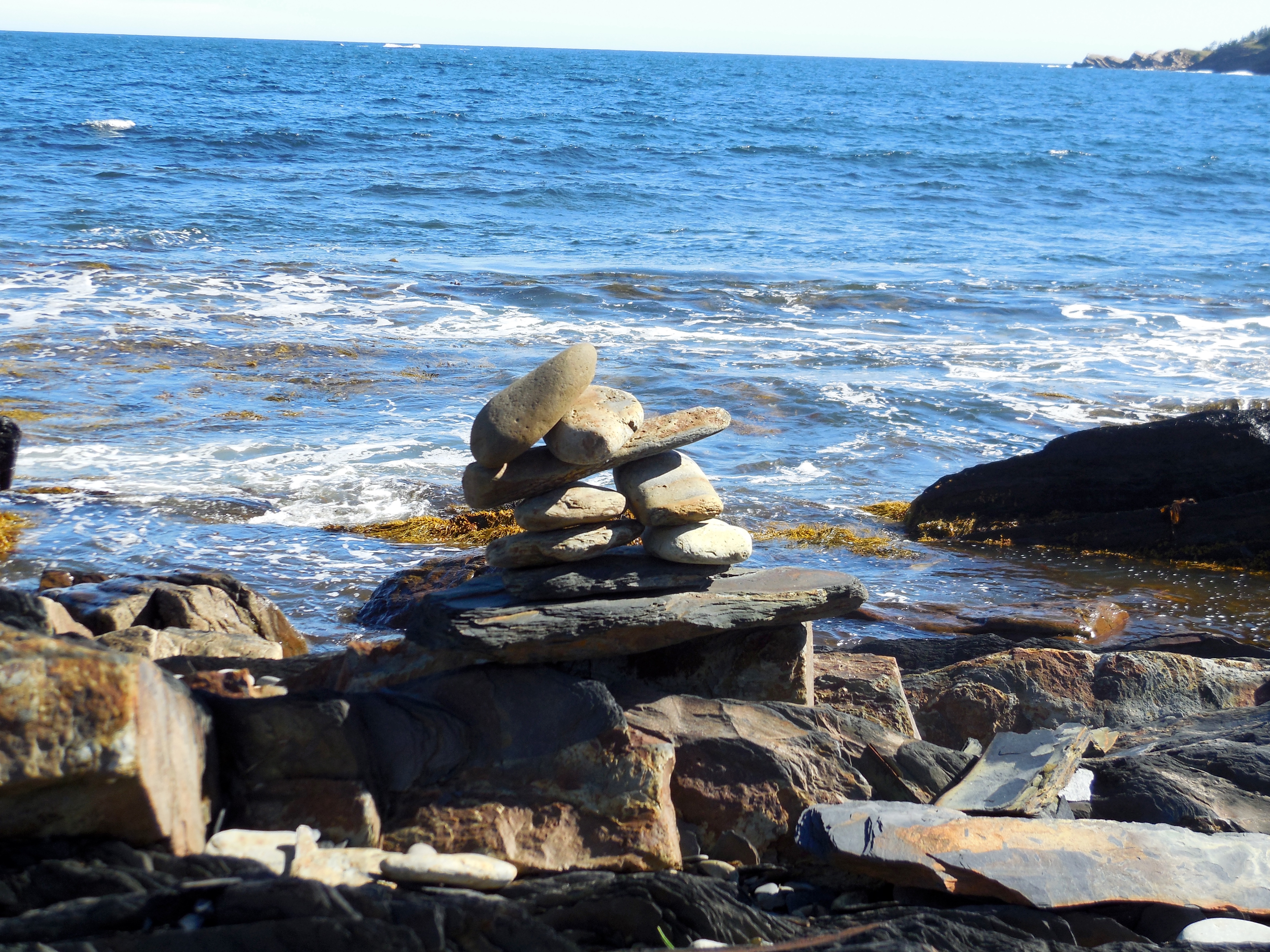
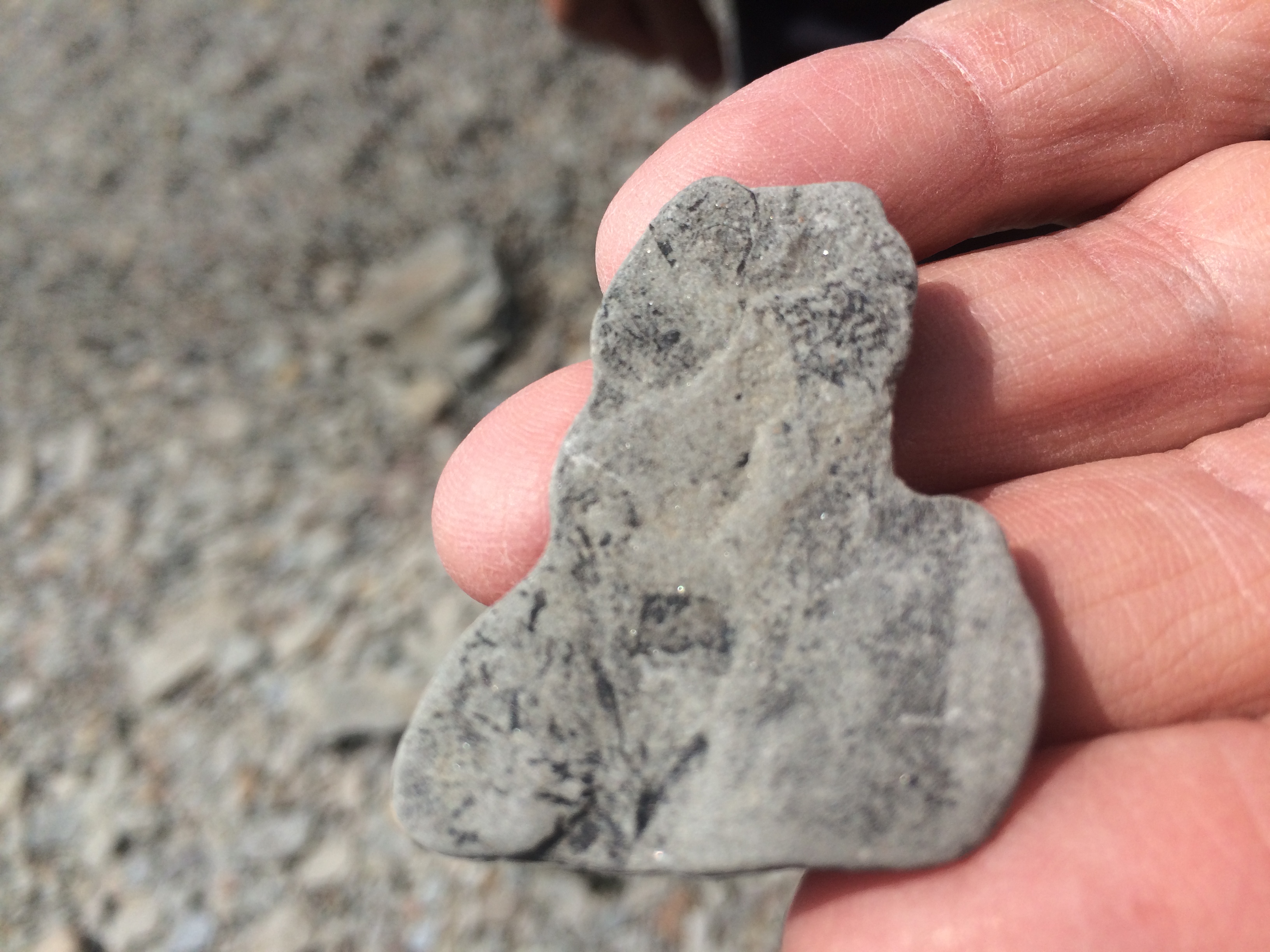
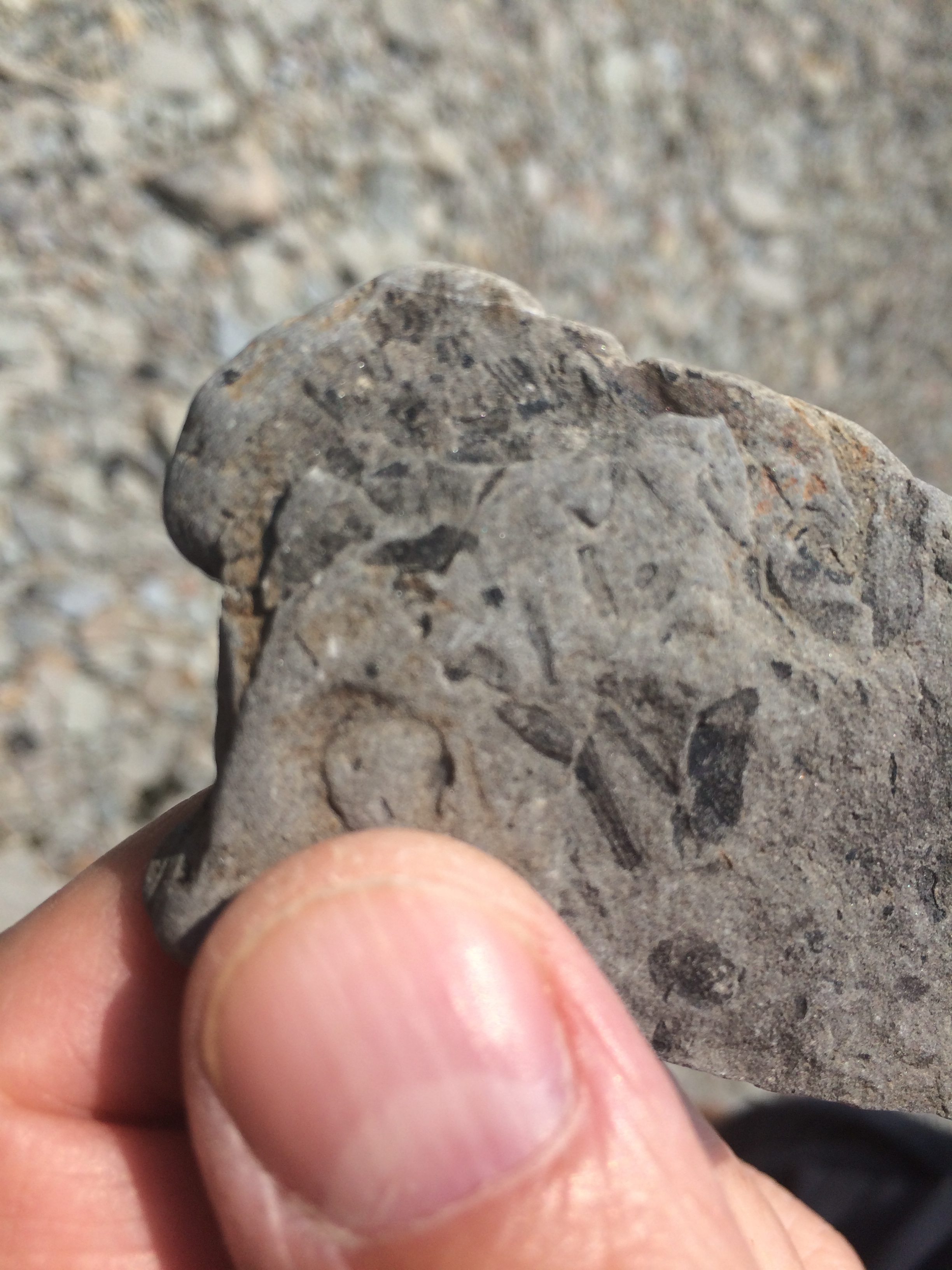
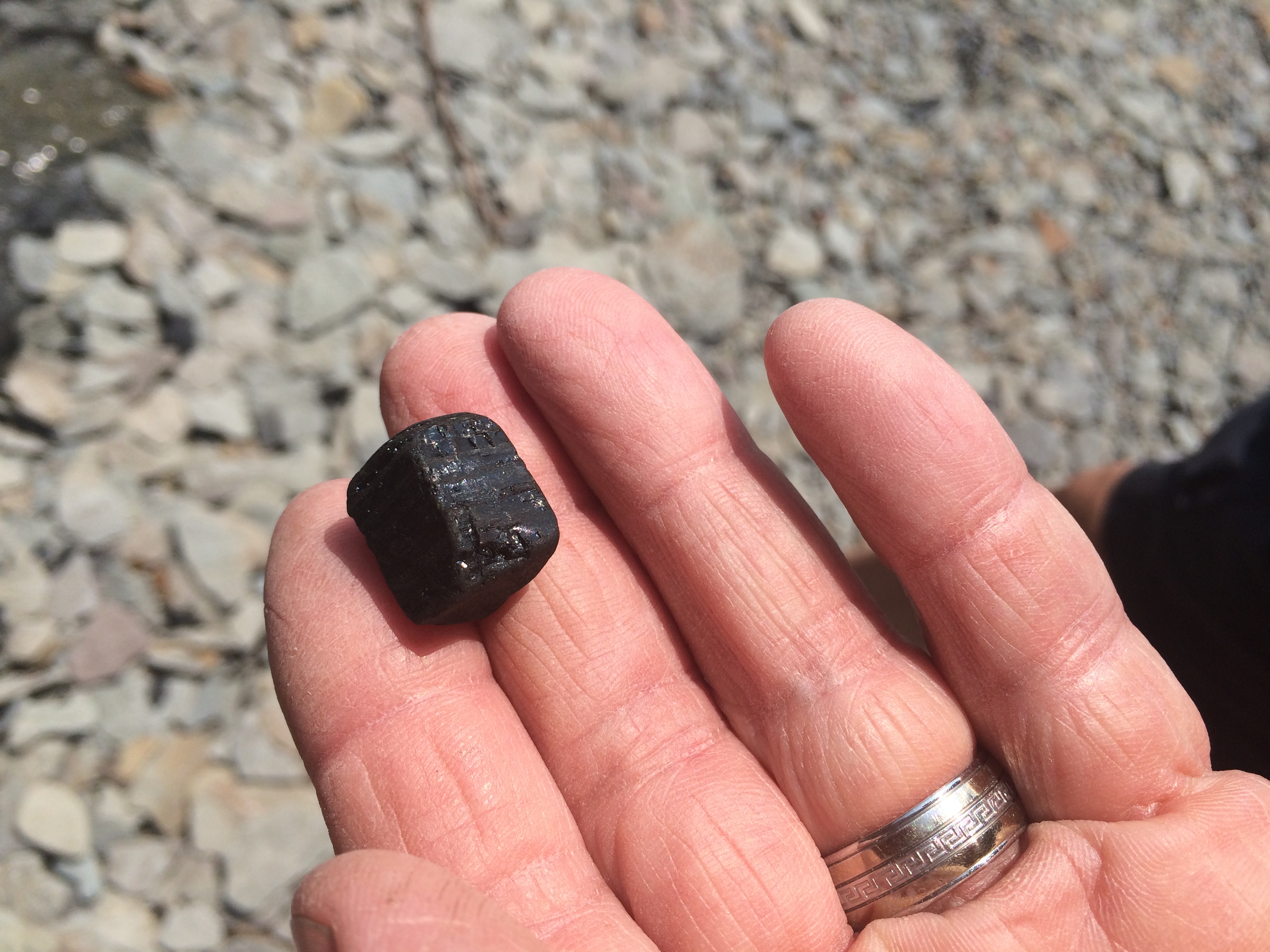
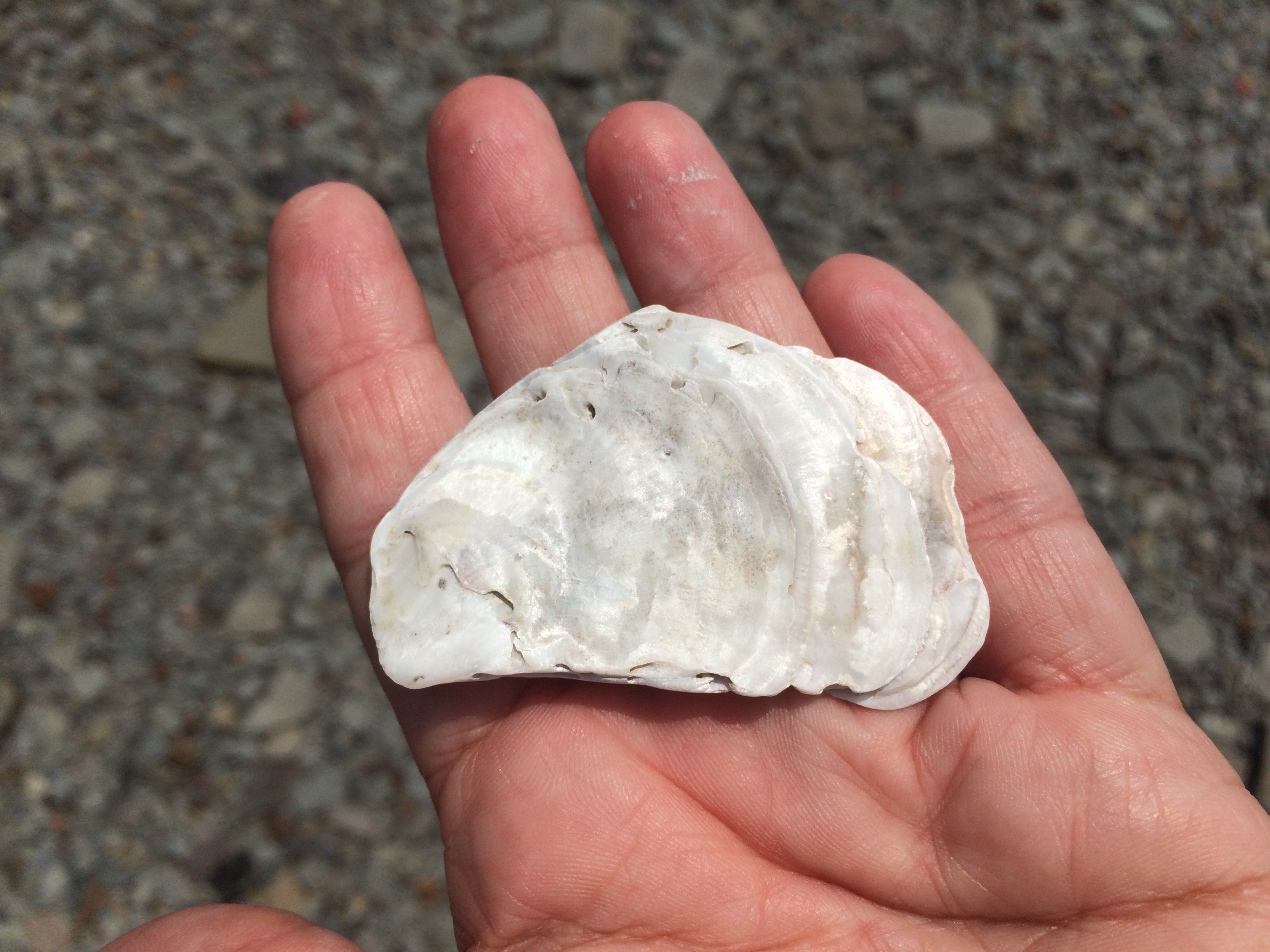
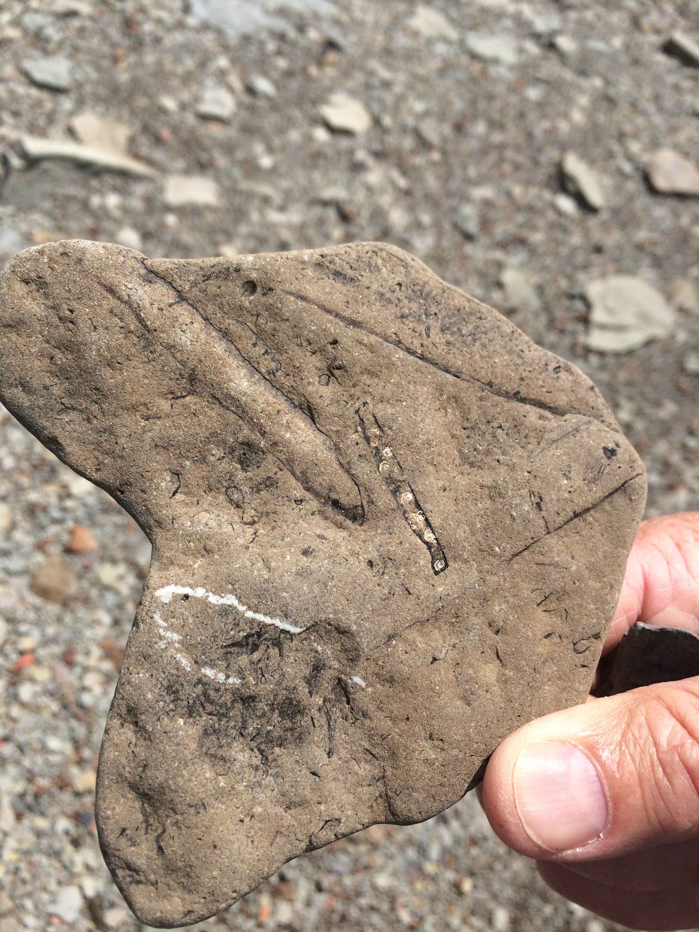
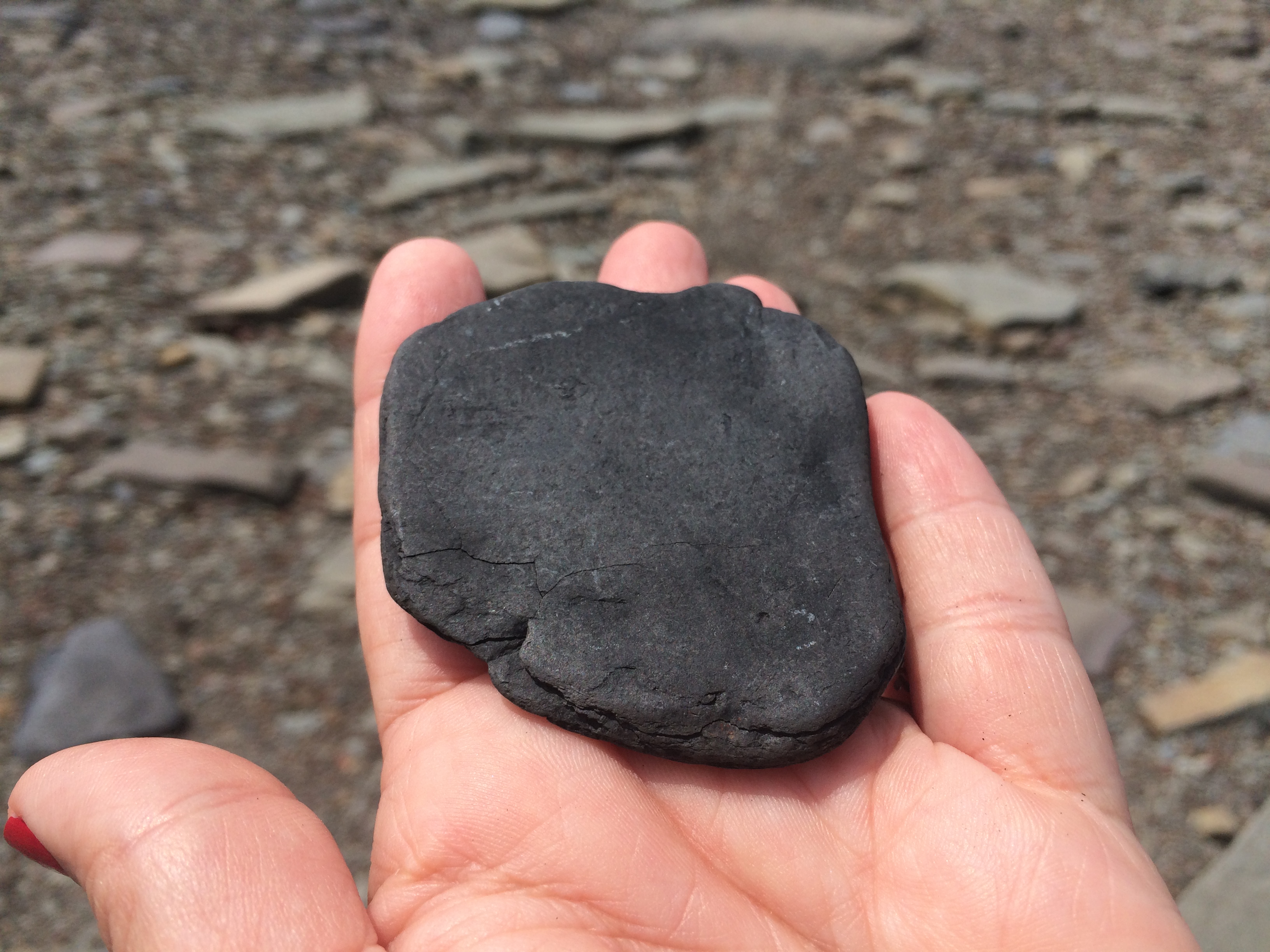
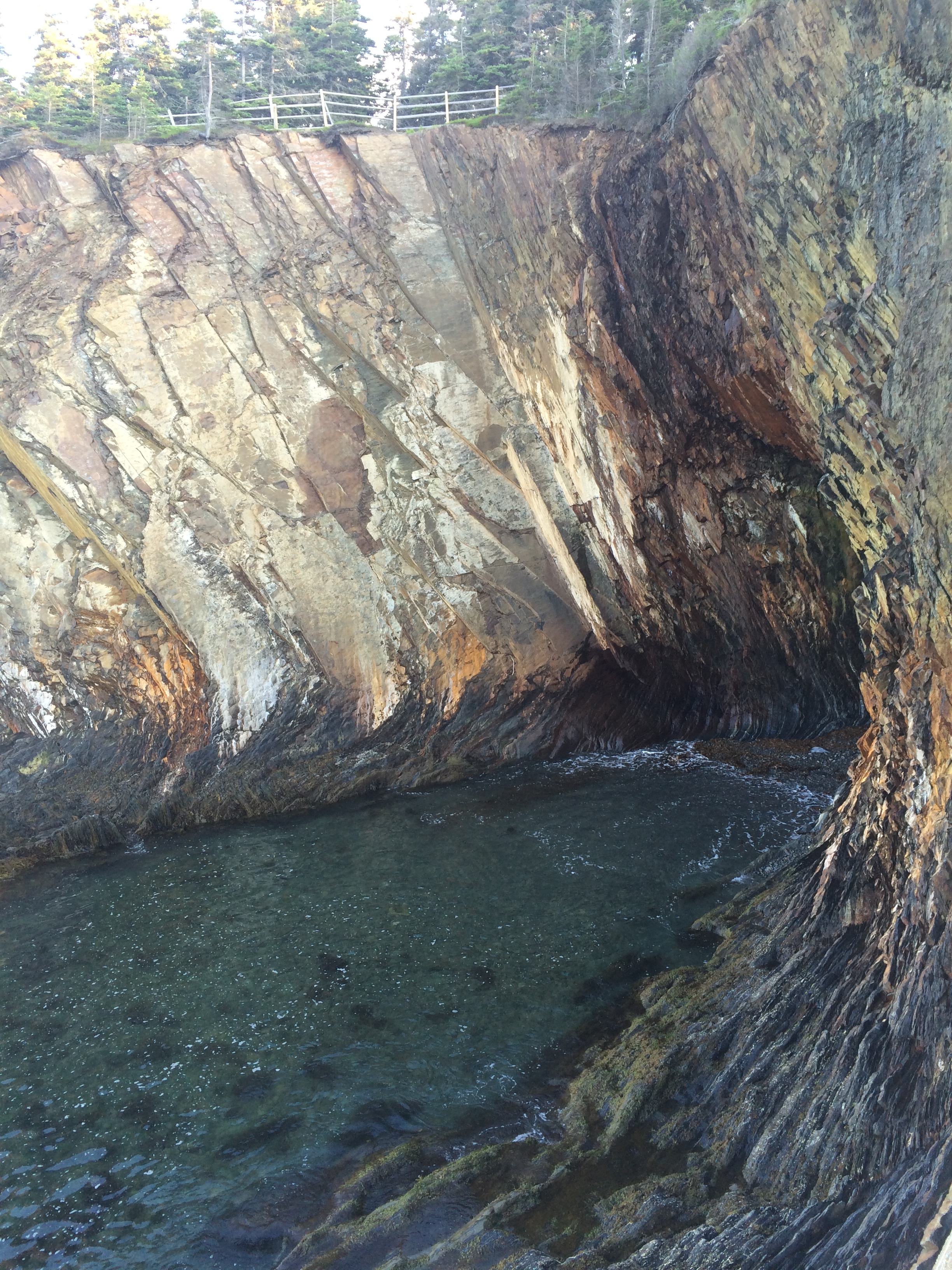
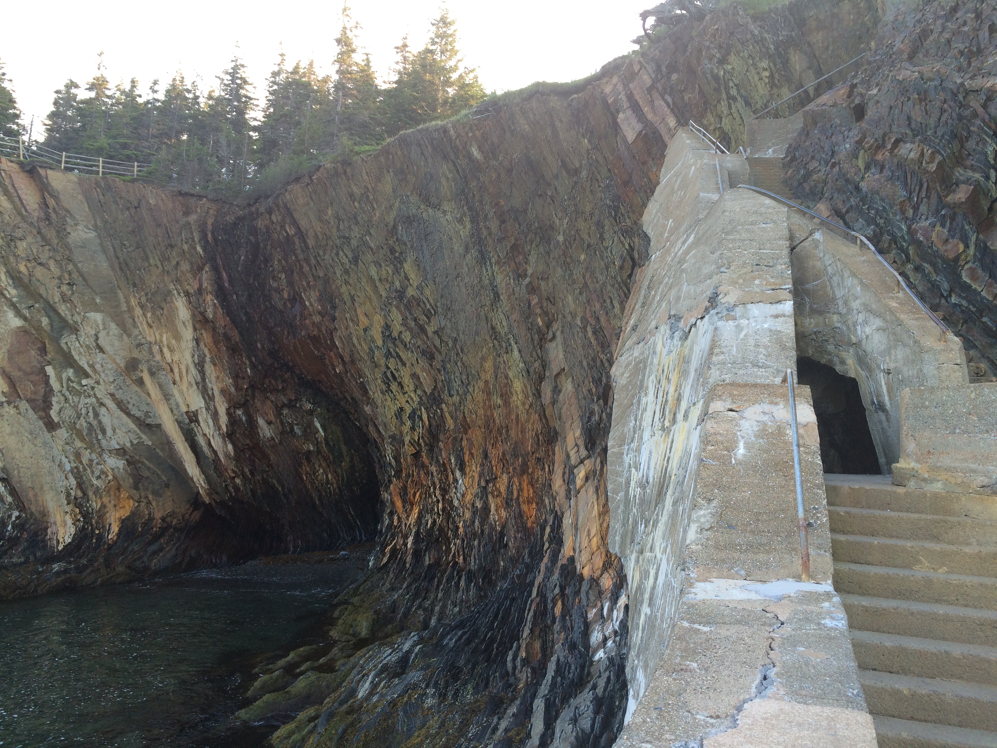
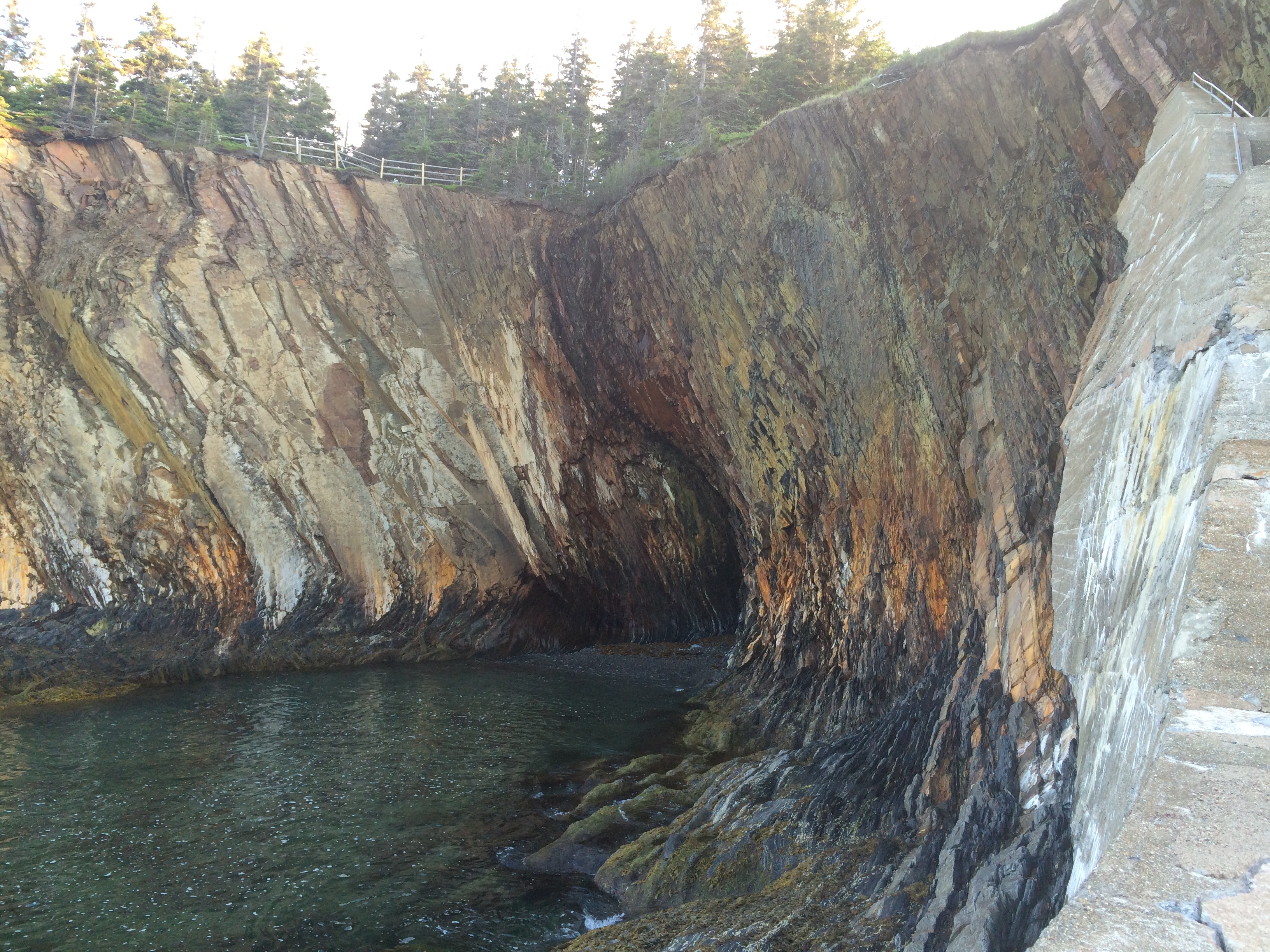
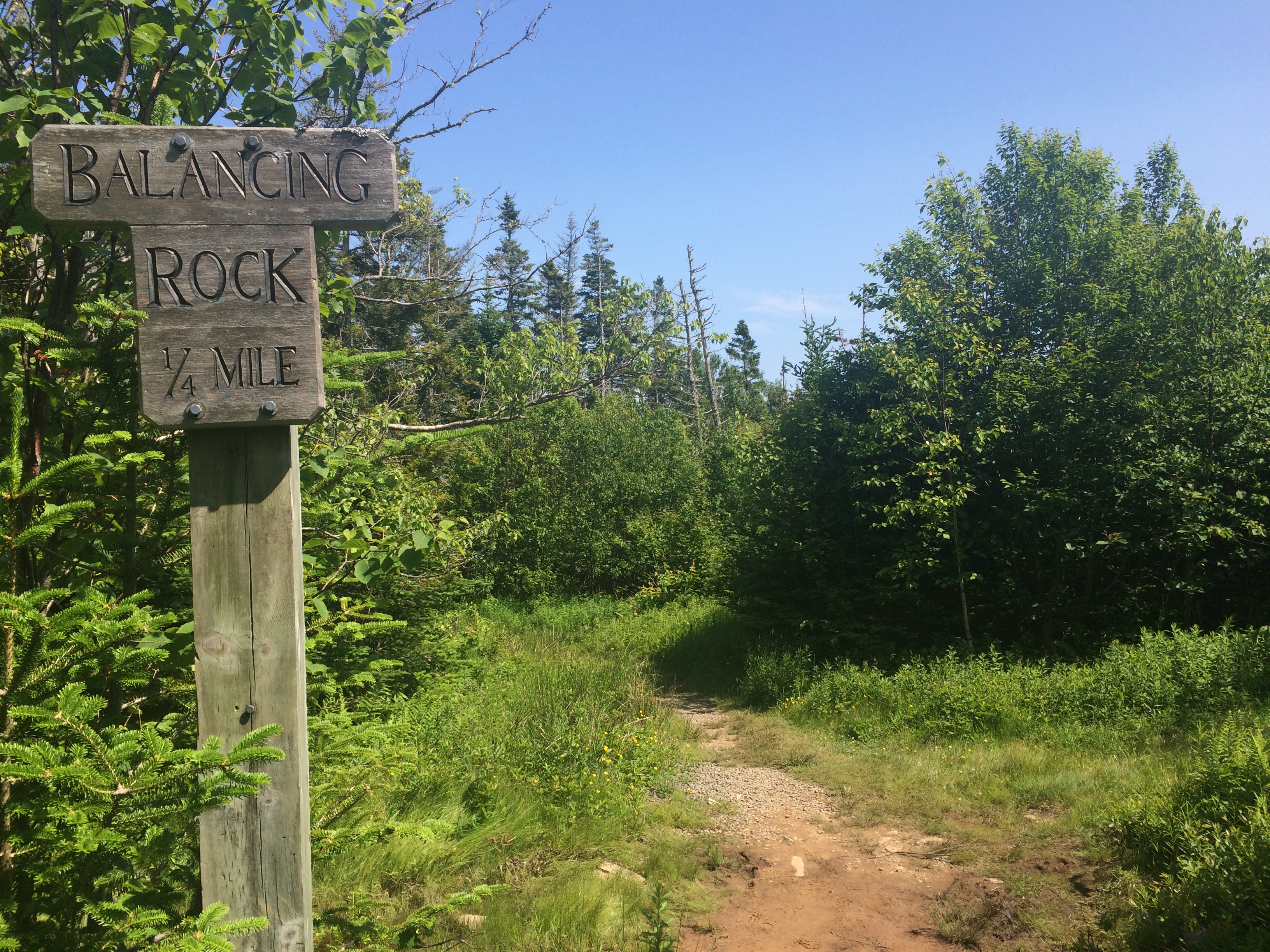
Geocaching…I think it’s the perfect activity to get you out exploring!!

A Unique Place

Unique, unspoiled…tucked away at the end of a rocky beach. A trail that is 6.5 km round trip. It consists of marine, terrestrial and wetland ecosystems. Both sides  have steep cliffs and tidal pools, shale beaches and just AMAZING views along the shoreline. Just a perfect little walk for such a gorgeous afternoon!

DSCN6197 IMG_8425 IMG_8431 IMG_8434 IMG_8451 IMG_8465 DSCN6134DSCN6140DSCN6155DSCN6160IMG_8525

DSCN6136 DSCN6149 DSCN6151 IMG_8472IMG_8501IMG_8506IMG_8513DSCN6168DSCN6179DSCN6182DSCN6184DSCN6189DSCN6195And where is this unique place? It is Hirtle’s Beach And Gaff Point.

What a beautiful afternoon!

DSCN6178

Years and Years ago…

How many we don’t know for certain. In the coal age…

These exposed layers of rock reveal the world’s most complete fossil record of life in the “Coal Age” when lush forests covered Joggins on the coast of Nova Scotia.

The swamp forests produced massive quantities of organic matter that, over years, created the coal deposits for which this period of history is named. Embedded in 15 kilometres of accessible coastal cliffs, rare fossils reveal details of life in the “Coal Age”.

The tide was coming in when we visited so we had a little time to explore the beach and look for fossils.

IMG_5791 IMG_5792 IMG_5793 IMG_5815 IMG_5819 IMG_5823 IMG_5824 IMG_5826 IMG_5829 IMG_5834 IMG_5837 IMG_5838 IMG_5839 IMG_5840 IMG_5842 IMG_5844 IMG_5845 IMG_5852 IMG_5853 IMG_5857Interesting!

A Walk on the Ocean Floor

Have you ever wondered what was on the bottom of the ocean along the coast? What was lurking under that muddy water in the Bay of Fundy?

We enjoyed a day trip adventure to Hopewell Rocks in New Brunswick.

IMG_5534

Hopewell Rocks or Flowerpot Rocks, are rock formations caused by tidal erosion. They stand 40–70 feet tall. Located in the Bay of Fundy, where the World’s Highest Tides make for interesting adventures, the base of the formations are covered in water twice a day. And if you are there at low tide… it is possible to view the formations from ground level, while walking on the ocean floor!

High Tide at the Flowerpots at Hopewell Rocks…

High Tide at the Flowerpot Rocks

And the same place at Low Tide…so AMAZING!!!IMG_5543 IMG_5570And we enjoyed a couple hours walking on the Ocean Floor at low tide…

IMG_5583 IMG_5592 IMG_5595 IMG_5605 IMG_5617 IMG_5640 IMG_5641 IMG_5645 IMG_5660 IMG_5681 IMG_5683 IMG_5696 IMG_5702 IMG_5704 IMG_5715 IMG_5718 IMG_5726 IMG_5735 IMG_5745 IMG_5746 IMG_5752 IMG_5766 DSC07998DSC08004DSC08009

The Ovens

The Sea Caves  called “the ovens” are amazing especially at high tide when the water is washing in and out and creating cannon like noises. However tonight, it was low tide, and even though the views were spectacular it didn’t quite have the effect if it were high tide.

It’s a beautiful spot to go for a walk and enjoy the ocean anytime.

IMG_5331 IMG_533311709663_10155781495625296_6746521299816890065_nIMG_5338 IMG_5352 IMG_5359 IMG_5362 IMG_5363 IMG_5364 IMG_5367 IMG_5383IMG_5343

Balance is the key

Balance is the key to a happy, fulfilling life. Hard work and leisure, a lot of one and not too much of the other. An appreciation and enjoyment of both.

Today we went on a small hike to Balancing Rock in Tiverton, NS.

IMG_5015It’s a very easy groomed 2.5-km trail and 235-step staircase that leads to a platform with view of the Balancing Rock and St. Mary’s Bay. Just beautiful. This 9 meter high rock is a part of the North Mountain columnar basalt rocks which forms the cliffs along St. Mary’s Bay and the Bay of Fundy.

IMG_4912 IMG_4916 IMG_4919 IMG_4920 IMG_4942 IMG_4944 IMG_4948 IMG_4949 IMG_4951 IMG_4959 IMG_4962 IMG_4964 IMG_4965 IMG_4966 IMG_4967 IMG_4971 IMG_4972 IMG_5018 IMG_5019
IMG_4974 IMG_4976 IMG_4981

IMG_5017 IMG_5020